
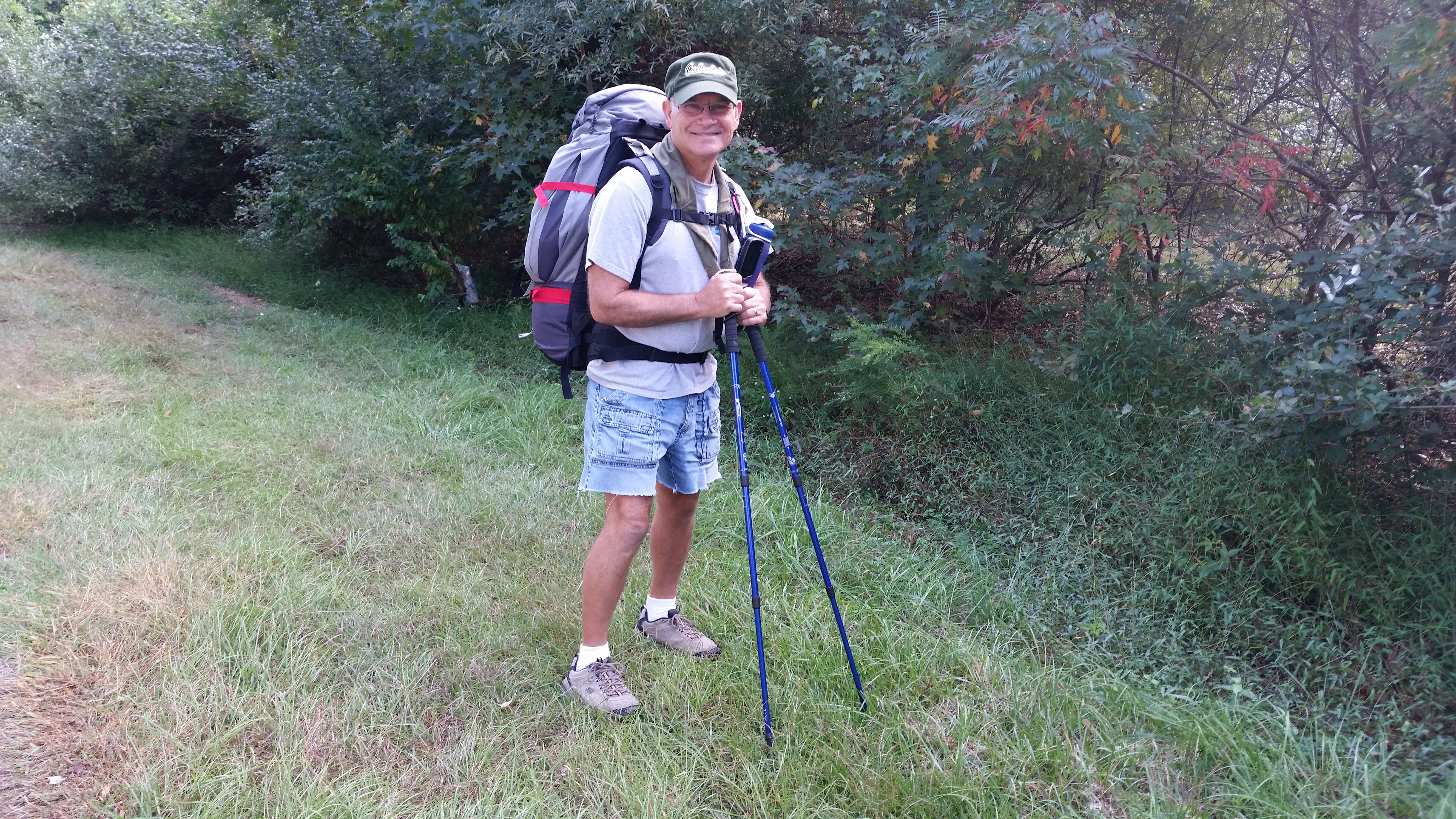
 I love to hike. While we live in a fifth wheel trailer full time, I don’t consider that camping. Backpacking – carrying everything you need on your back is my idea of a good time. I know that sounds odd to some of you, but it’s my thing!
The NC Mountains-to-Sea Trail is North Carolina’s premier hiking trail. The North Carolina state trail was established in 2000 and stretches 1150 miles from Clingmans Dome in the Great Smokey Mountains all the way to Jockey’s Ridge State Park in the Outer Banks. Two years ago I hiked a section from near the Falls Lake Dam to the Holly Point Campground where we were serving as Camp Hosts. This year I wanted to do another section that ran from just west of the Rolling View Campground and Marina to Holly Point.
 I started at the end of Santee Road and had to bushwhack through the woods to find the trail along the shore of Falls Lake. Once I found the trail it was pretty easy going. The trail is well defined and marked with white circle markings on trees and posts. It was the perfect day, although a little overcast, the sky cleared throughout the day.
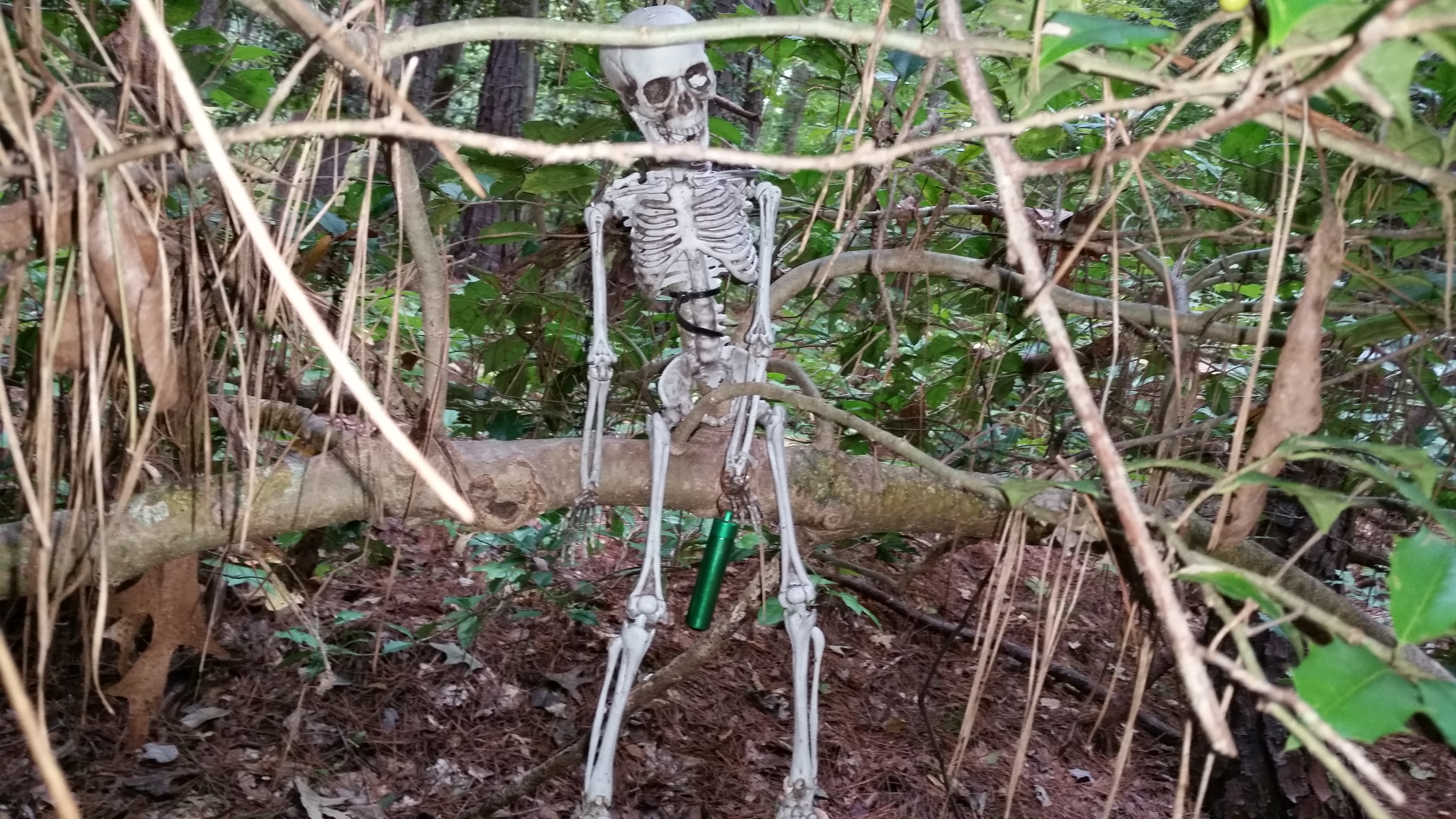 I’m an avid geocacher and there are a lot of geocaches that have been hidden along the trail. I had downloaded all of the nearby caches to my GPS and the hunt was on. One of the first caches I found was appropriate for the Halloween season. It was called “Bone up on Your Caching Skills” and here is what it looked like. Geocaching made the hike take longer, but also made it more interesting.
On a few occasions the trail ran next to private homes. A couple of these had terrific views of the lake and I thought it would be great to live in one of them. The lake shore at night made for some great views.
Late in the afternoon I started looking for a place to spend the night. When I served in a Ranger company in the Michigan National Guard, I preferred hammocks over ground beds. You don’t have to find a piece of flat ground that is clear of rocks, 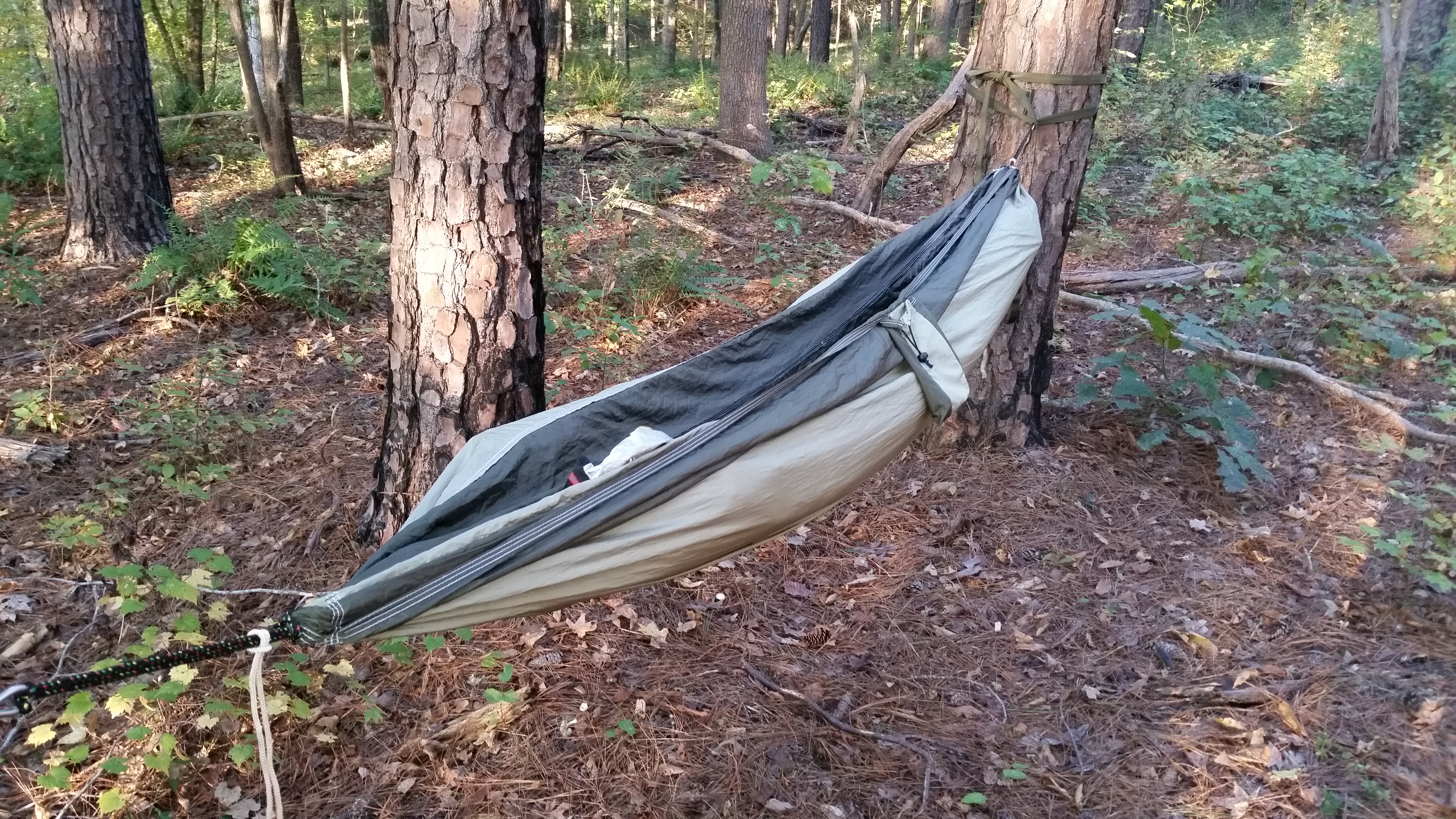

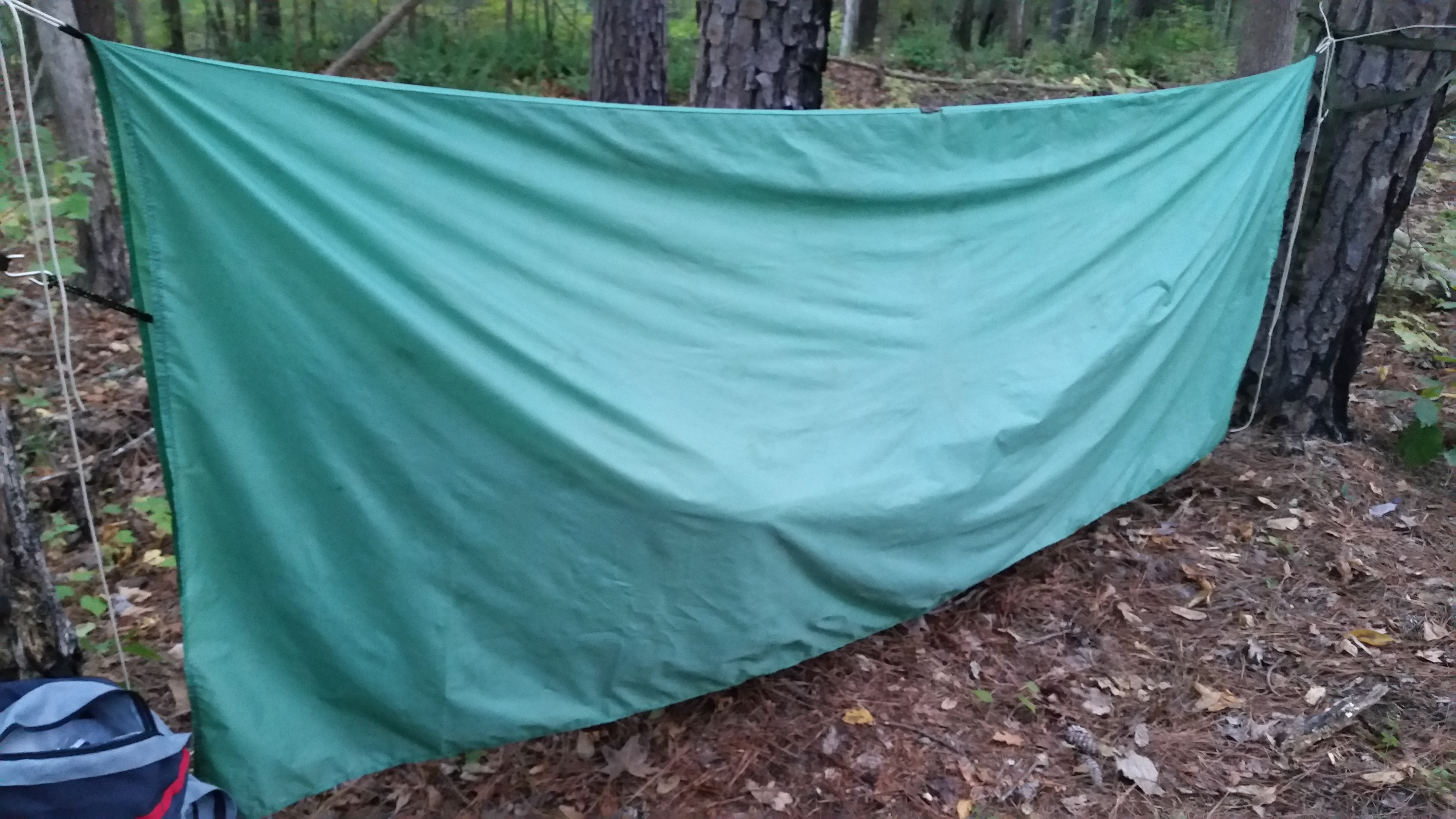 etc, and it doesn’t matter if the ground is wet. However, in a hammock you have to worry about cold air under you more than over you, so I placed a “space blanket” on the hammock under the sleeping bag to reflect my body heat back to me. A waterproof, nylon rain fly above the hammock served to protect me from rain and morning dew. I just let it hang straight down on each side. There was plenty of room above me and no wind-blown rain could get under it. I slipped a large trash bag over my backpack and I was set for the night.
 I built a small alcohol stove from two soft drink cans that worked wonderfully and weighed much less than my Coleman gas stove. I wish I had discovered this a long time ago.
I woke early the next morning, brewed some coffee for breakfast and refilled my water bottles from the lake with my water filter. The sunrise shining on the far shore was an awesome sight. I checked my GPS and realized that I had been camped almost on top of a geocache. I walked around the area looking for it without success. I still can’t believe that I wandered all around the area the night before and in the morning and still couldn’t find it – Oh, the frustrations of geocaching!
 There are many old structures in the area. I hiked past one former homestead that still had the old buildings – house, barn, and sheds. These old buildings give you a sense of the history of the community around Falls Lake.
About 3:00 in the afternoon I hiked back into our campsite at the Holly Point Campground. What a great time! Twenty miles of easy hiking over two days and geocaching (seven new caches found). The outdoors is a wonderful place!


Love the hammock, Bob!
Bob, what GPS do you use for geocaching. I would like to get into geocaching.
Hi Roman,
I use a Garmin Oregon 600t, but there is an app called c:geo that you can download to your phone that will work until you decide you are serious enough to want to make a bigger investment. Check out http://www.geocaching.com for more information. A basic membership is free (That’s what I have).
Pingback: Raleigh, NC – October 2015 | Michigan Traveler