 As spring approached and the weather grew warmer, we began our trip across the country, traveling to Washington State. We had stayed in the Emerald Shores area of Florida before, but normally in Pensacola. Fort Benning maintains a site called the “Destin Army Recreation Area” in Destin, Fl. We had heard very positive comments about this park and we decided it was time to check it out.
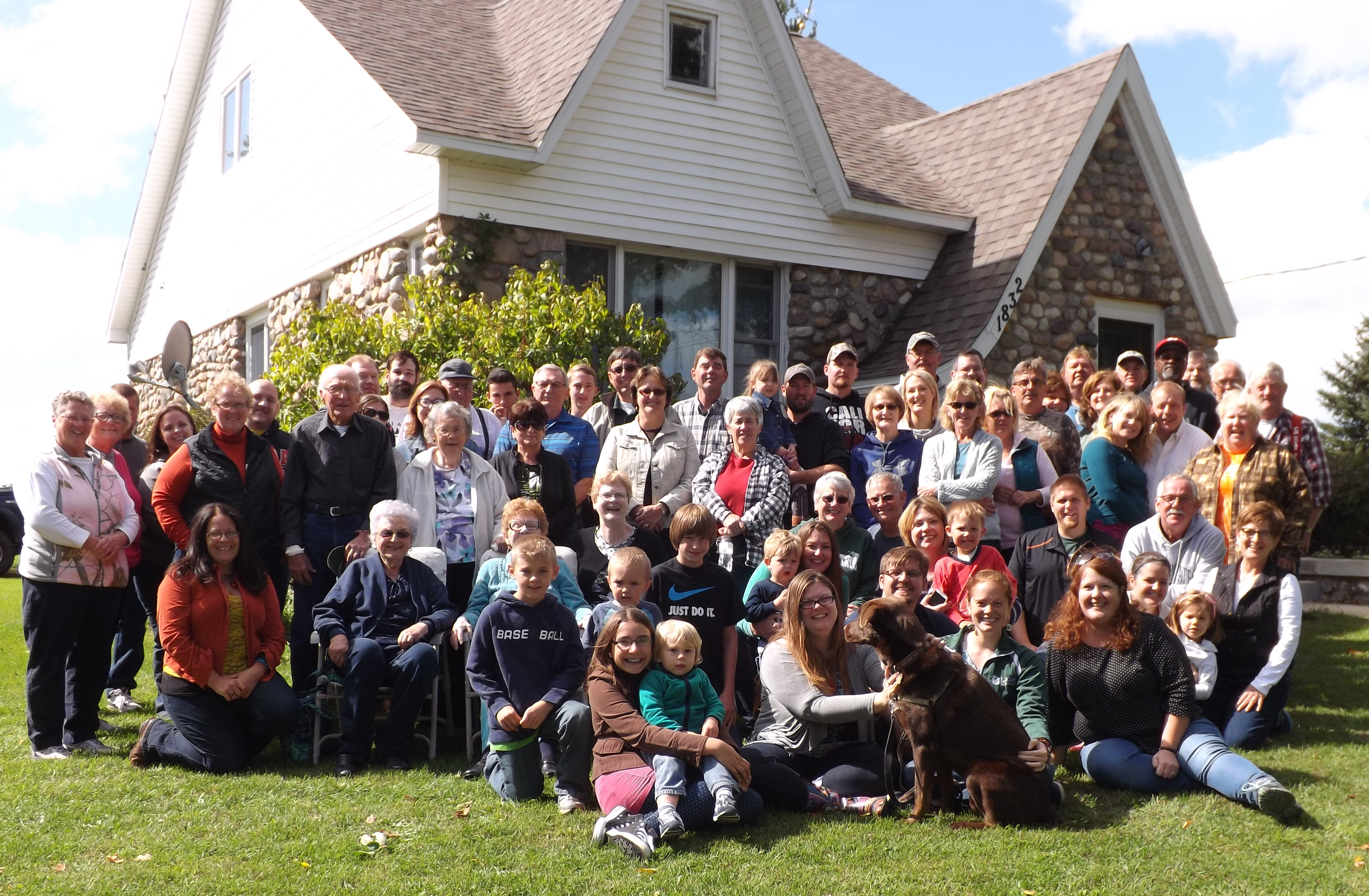
Located on the shore of Choctawhatchee Bay, the Destin Army Recreation Area has a number of cottages and guest rooms, as well as a small RV park. The reviews had indicated the sites were “kind of tight” for large rigs and they were right. However, they weren’t so tight that we had difficulty backing into our site and we had a half dozen guys offering to help guide us in. I have never seen so many people offer to help us anywhere else. The park had some of the friendliest campers we have ever met. There was one couple from Michigan, one couple were new fulltime RVers, and even a former Ranger School instructor (Not one I knew, he was in another assignment at the time I went through Ranger School).
The park has playground equipment, a pool, and a splash pad for kids. There are BBQ grills in the RV park and around the cottages, and a good sized marina with boats for rent. The campers meet in the community room on Wednesday nights for potluck dinners.
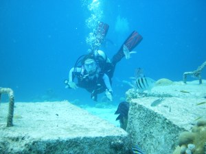
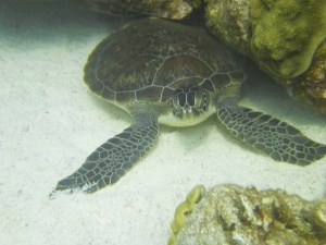
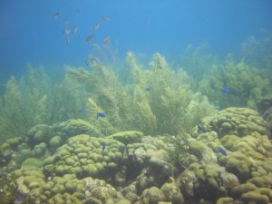
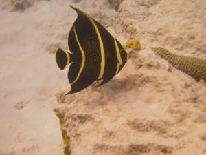
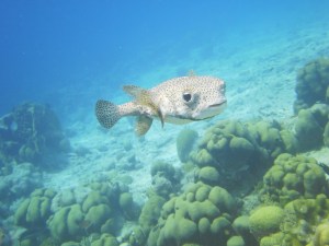
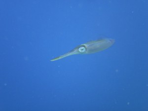
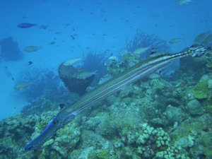
We checked out some of the local sites – the Harbor Walk where we strolled through many shops and the harbor. We stopped at a local SCUBA shop to see about diving and snorkeling in the area. Unfortunately the recent storms had washed a lot of silt into the Choctawhatchee Bay and that was drastically reducing the underwater visibility.
We drove across to Okaloosa Island for a nice lunch at AJ’s Oyster Shanty. This is a nice lunch stop with good food and great service.
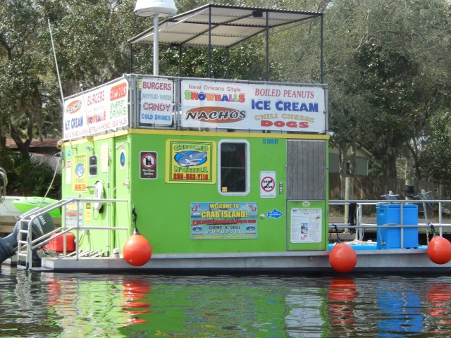
The winds were pretty high most of the time we were there, but we launched our kayaks from the marina and paddled up wind to check out the homes along the shore. We found a small cove that offered some shelter and saw a lot of contrast in the homes there. Some were quite modest, one looked like they had turned the land between the house and the shore into a junk yard, and one looked like a home Donald Trump could have built. Tied up to one of the docks was the aquatic version of a food truck to take advantage of the crowds that drive their boats to nearby Crab Island on the weekends.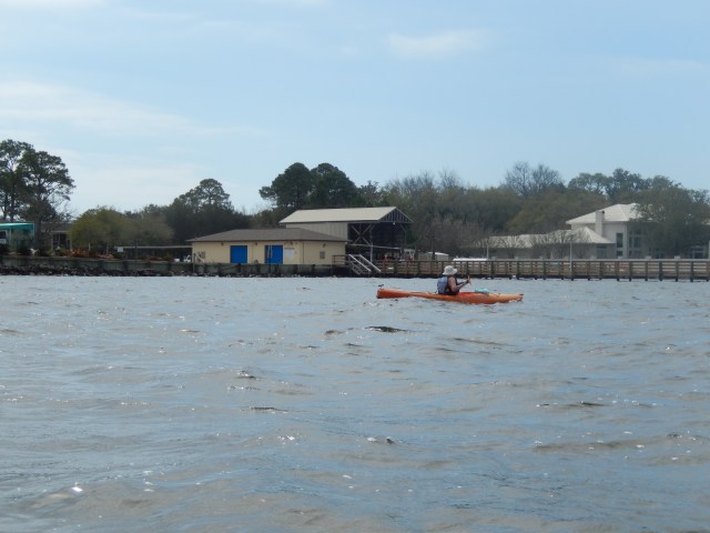
The area surrounding the Recreation Area is a residential area so it was very easy to walk or bike for exercise there. I discovered there were a large number a geocaches in the area and, of course, I rode my bike one day and located a number of them.
We discovered there was a winery in the area and we stopped in to taste their wines and left with a few bottles to add to the wine cellar in my closet. The grapes are from their own vineyard, north of the bay and were very unique.
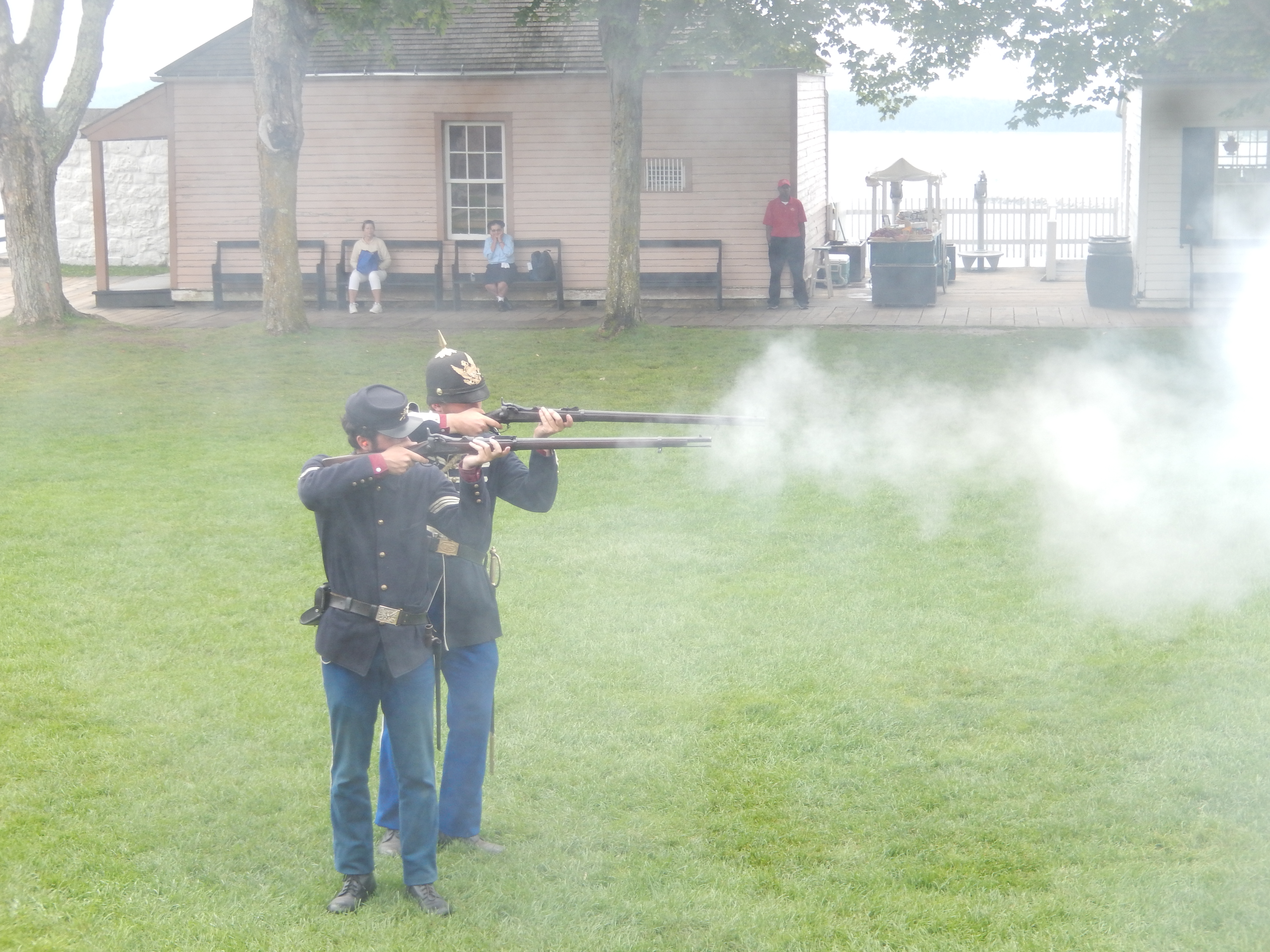
Spring Break was in full swing and there were college students all over town and on the beaches. Some Florida cities have had major problems with spring breakers getting intoxicated and causing trouble. Some of the cities in this area have passed ordinances prohibiting drinking alcoholic beverages on the beach and this story was on the news every night. Our own experiences were very undramatic. We decided to enjoy the sunshine on the beach at Okaloosa Island. There were a lot of spring breakers on the beach and, yes, some were drinking, but I didn’t see any disorderly behavior.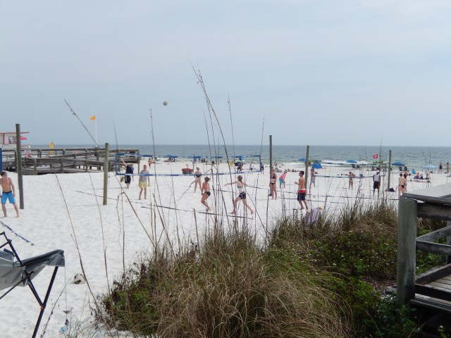
On our last night in town we went out for dinner to Floyd’s Shrimp House. It’s a bit of a cliché that senior citizens are always looking for buffets and “all you can eat” specials, but the “All You Can Eat” fish and shrimp at Floyd’s was great. Good fish and good shrimp, and as much as you wanted. It’s a good thing we don’t do things like this very often!
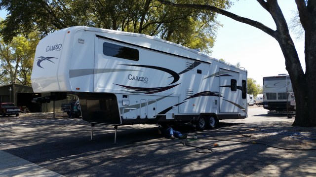
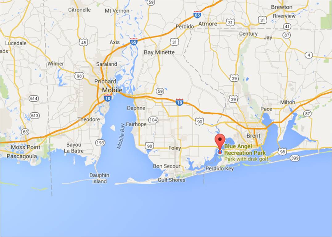
On Friday, March 18, we left Destin and made the short drive to the Blue Angel Recreation Area in Pensacola. This is one of the two RV parks operated by Naval Air Station Pensacola. Blue Angel used to be a seaplane base and is now a recreation area, off-base, and open to the public. One of the reasons we chose to stay here was to have a short drive on Monday morning when we planned to take our trailer to a local RV dealer, Carpenter’s Campers.
Blue Angel has two campgrounds. Battleship Row is a newer location, designed for large RVs and offers full-service hookups. Anchor Bay is the older location, currently offers only 30 amp electrical hookups and water, but no sewer. It is in the process of being upgraded. Anchor Bay is the preferred location for tenters and small RVs. We stayed in Anchor Bay and were able to get a site with plenty of space and a nice view of Perdido Bay.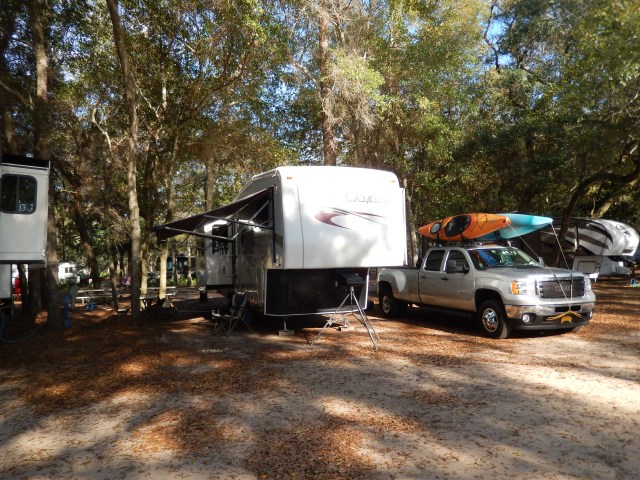
Blue Angel offers a variety of services from camping (groups and individuals), picnic pavilions, boat rentals, paintball, disc golf, and RV storage. The weather wasn’t as nice as the campground. We had heavy rains on Friday night, but the weather cleared up on Saturday and we went kayaking in the bay. After we got back and secured our kayaks, I searched for some geocaches in the area and was able to find six of the seven geocaches hidden in Blue Angel.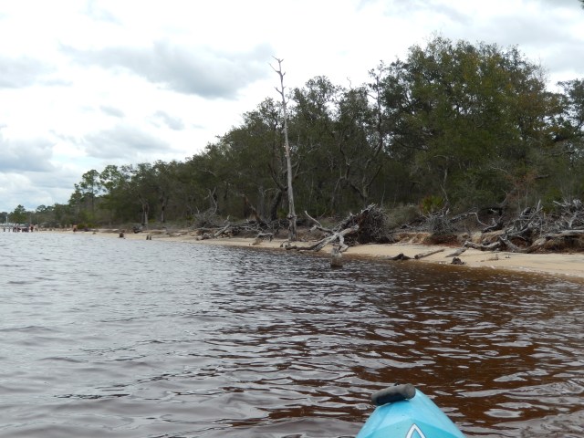
Monday morning we were up early and drove to Carpenter’s Campers. This shop had performed work for us in the past so we wanted them to do a thorough preventive maintenance check on our systems. Not only do they do good work, but they have a small campground with water and electrical hookups for repairs that take more than one day. They did a great job, whenever they encountered a problem the technician called me to authorize the additional work. While the shop performed their work we took the truck to Discount Tire to replace two tires that were worn out. By Tuesday afternoon, March 22nd, the work was complete and we were on our way to our next stop, Little Rock, AR.